Homebush Bay circuit wayfinding strategy and master Plan
Location
Sydney
Budget
$90K
Commencement
2018
Completion
2019
Overview
We led an international consortium in the development of a comprehensive Wayfinding Strategy and Master Plan for the Homebush Bay Circuit, encompassing the area used for the 2000 Summer Olympic Games. The Strategy involved a detailed assessment of user needs for both directional and interpretative information, as well as innovative technology to provide the user with an immersive experience to enhance their experience visiting this iconic part of Sydney.
What we did
The completion of the Bennelong Bridge in 2016, connecting Wentworth Point and Rhodes created the opportunity to develop a world class walking and cycling circuit around Homebush Bay. We led an international consortium of wayfinding and transport experts in order to create a first class user experience for those seeking to enjoy this iconic part of Sydney.
This Wayfinding Strategy and Master Plan provided a detailed, comprehensive plan to guide future investment to ensure the Homebush Bay Circuit becomes a well recognised and popular addition to the region’s existing attractions. It is difficult to think of a better legacy from the site of the Sydney 2000 Olympics than a world class walking and cycling network that interfaces seamlessly with the waterfront and celebrates the area’s unique history while embracing its future development as a residential and employment centre.


Understanding the needs of the user
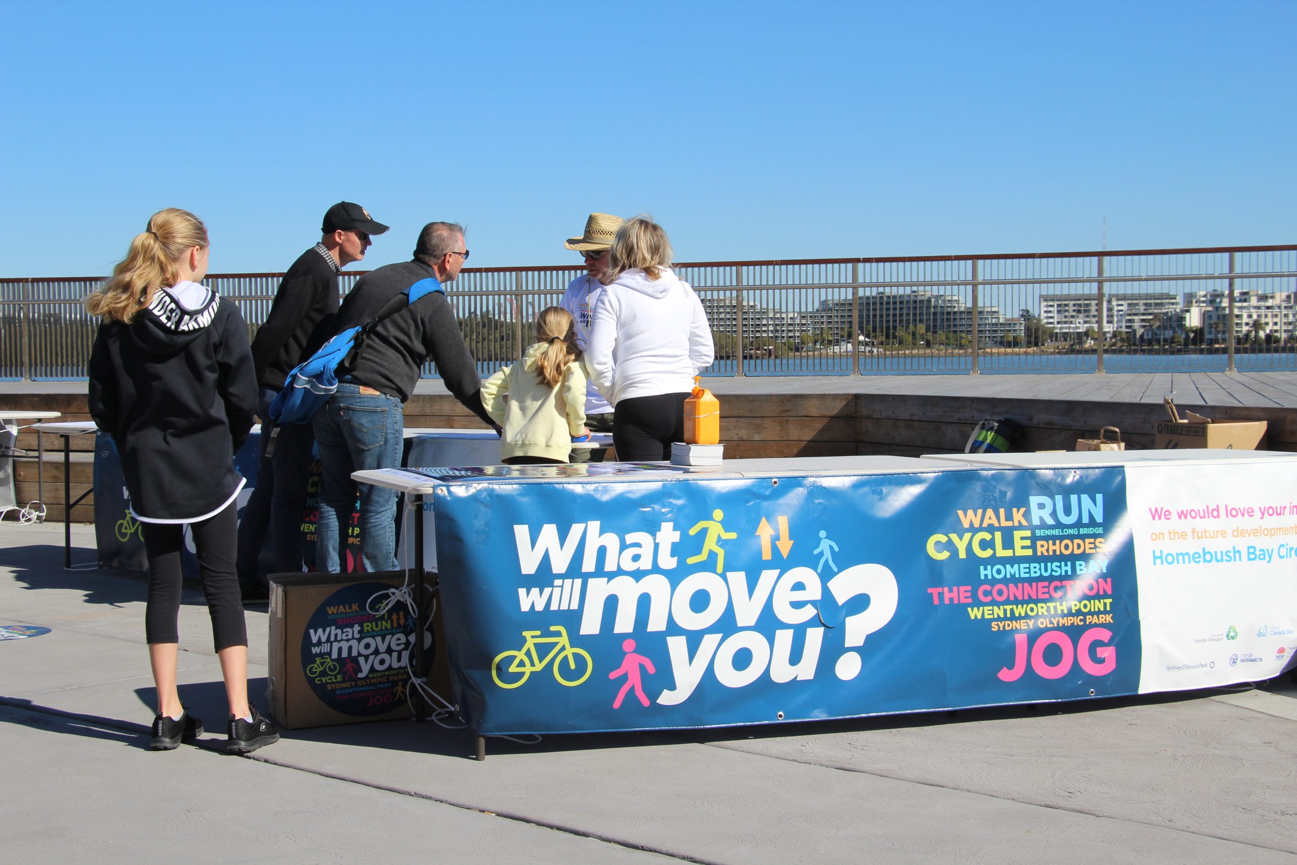
Our work began by developing a detailed understanding of what people love about Homebush Bay, and what could be made better. This direct engagement with the local community was bolstered with a site assessment; identifying the ways in which the walking and cycling experience could be enhanced through changes to transport infrastructure and signage.
In addition to direct conversations with the public, we also developed an online survey, providing an additional opportunity for the community to express what they’d like to see to enhance the experience of visiting Homebush Bay.
Identifying the issues and opportunities
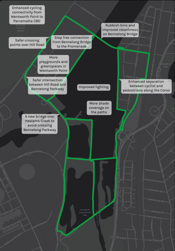
Following the completion of a detailed site audit and community engagement, we distilled the issues and opportunities that could be incorporated into the Wayfinding Strategy and Master Plan. As part of this process, we also developed the key attributes that help define the Homebush Bay Circuit as a destination. This included:
1. Continuous circuits to walk, run or cycle in a car free environment
2. Rich history: The Circuit enables people to gain an understanding of Homebush Bay’s rich history. The Circuit will showcase the indigenous relationship to Homebush Bay, and the different roles it has played, in the colonial/industrial period, as well as during the 2000 Olympics and beyond.
3. Natural environment: Homebush Bay has a number of very important natural assets, including Mangroves and migratory birds. The Circuit is an excellent vantage point to observe and learn about the ecology of the area, with boardwalks and bird watching hideouts.
Engagement with water was also a major factor influencing the design of the Circuit and the associated signage.
Our team conducted a market segmentation analysis, to identify the different current and potential users. Our signage strategy reflects the needs of different users, both in terms of their mode of transport (e.g. pedestrians, cyclists etc), as well as cultural identity.
A user centred approach
The Wayfinding Strategy and Master Plan adopted a user-centred approach that incorporated the principle of progressive disclosure to ensure the right information was provided to the user at each step along their journey to and within Homebush Bay. The information presented to someone thinking about visiting Homebush Bay is different to the information presented to someone already within the Homebush Bay area. Ensuring the right information is offered at the right time helps to avoid bombarding the user.

 More info about this project

